Helene effect in Indiana
Jody Tishmack: "We have wind advisories for later today...This has been a rather unusual year for my area. Looking at the climate graph for the year thus far I see above normal precipitation. But if I look at the current drought monitor, I see abnormal and moderate dry conditions across our entire state. How could we be this dry when we've had above normal rainfall? Long story short, higher temperatures. "

Huge Hurricane Helene accelerates toward Florida » Yale Climate Connections
Fast-emerging system likely to slam Florida Gulf Coast as a dangerous Hurricane Helene on Thursday
"At 11 a.m. EDT Monday, PTC 9 was located 130 miles south-southwest of Grand Cayman Island, moving north at 6 mph (9.7 kph), with top sustained winds of 30 mph (48 kph) and a central pressure of 1004 mb. Satellite imagery and Cayman Islands radar showed that PTC 9 had a large area of heavy thunderstorms with plenty of rotation"
Tropical Storm Francine heads for Louisiana
Now this is how to look on the bright side 🤨 :
"Louisiana has been hit by so many destructive hurricanes in recent years that the landfall of Francine will cause less damage than might be expected, since there’s less left to destroy."

Tropical Storm Francine heads for Louisiana » Yale Climate Connections
Record-breaking heat in the Atlantic could fuel an unusually active hurricane season.
"Although record-setting sea surface temperatures alone don’t guarantee a busy #hurricane season, they do strongly influence it, especially when the abnormal warmth coincides with the tropical belt known as the Main Development Region, or MDR, the area where 85% of Category 3, 4, and 5 hurricanes form."

What you need to know about record-breaking heat in the Atlantic » Yale Climate Connections
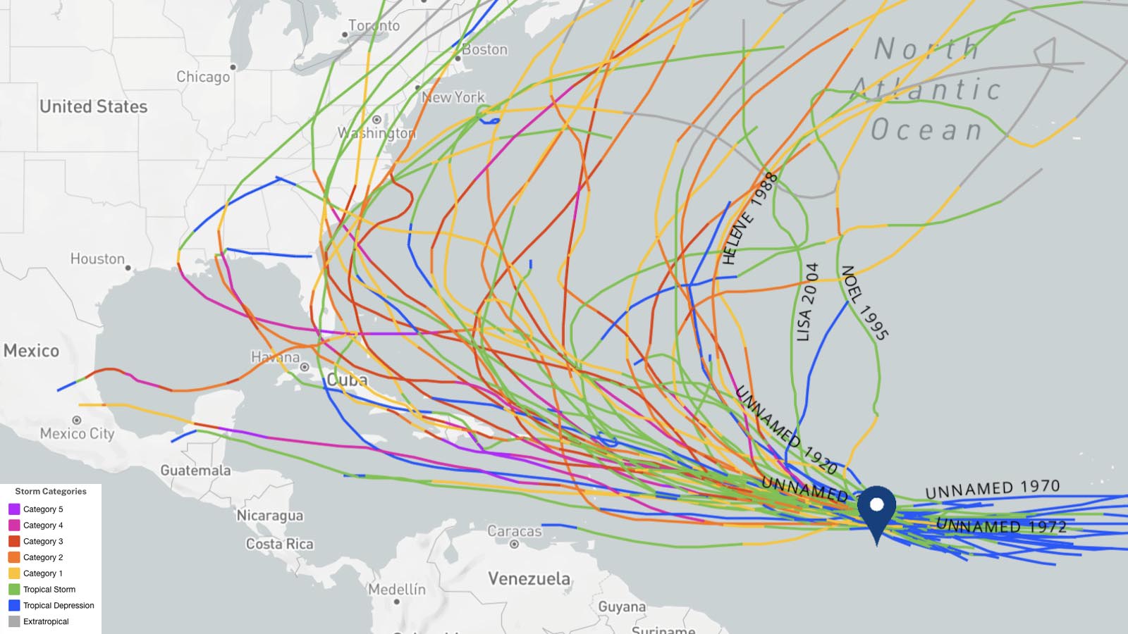
The National Hurricane Center has issued their most aggressive intensity forecast ever for a newly-formed tropical depression: a Category 4 hurricane with 140 mph winds in five days.

Tropical Depression 13 poised to become a powerful hurricane » Yale Climate Connections
